Koko Crater Tramway Hike: A Challenging and Scenic Trail to Kokohead Lookout
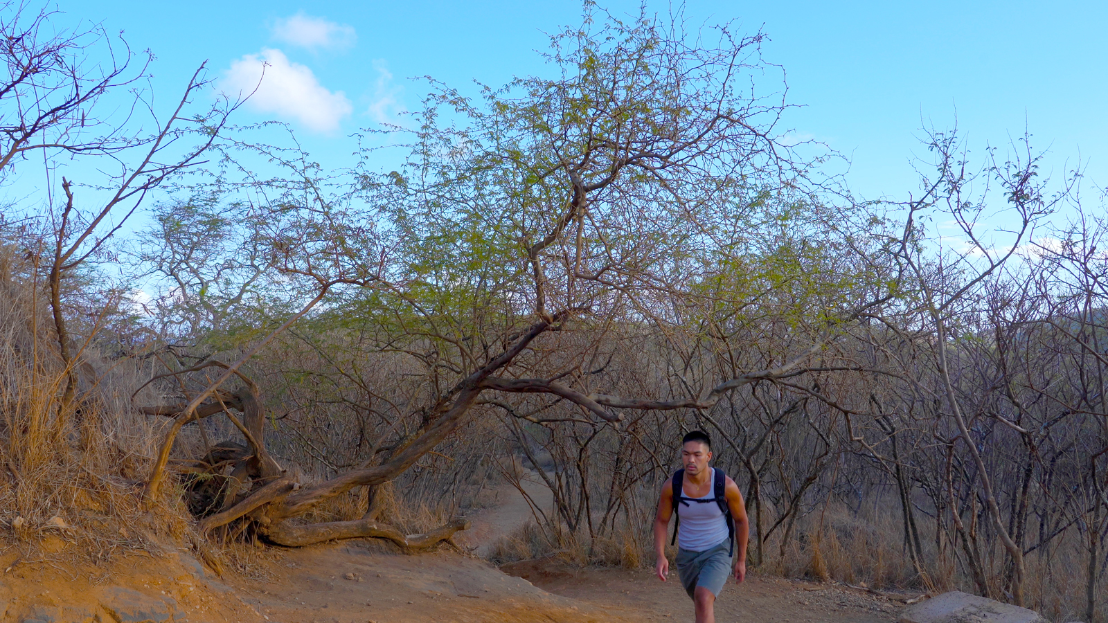
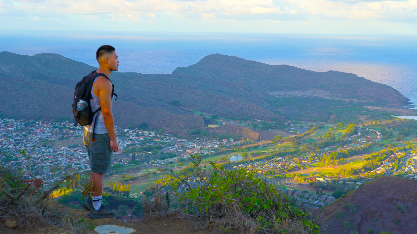
The Koko Crater Tramway to Kokohead Lookout trail offers a challenging and scenic experience, featuring a steep and shade-less climb that rewards hikers with breathtaking panoramic views of the east Honolulu shoreline, Hanauma Bay, and parts of Moloka’i. Start planning your adventure now using this comprehensive trail guide and create memories that will endure a lifetime.
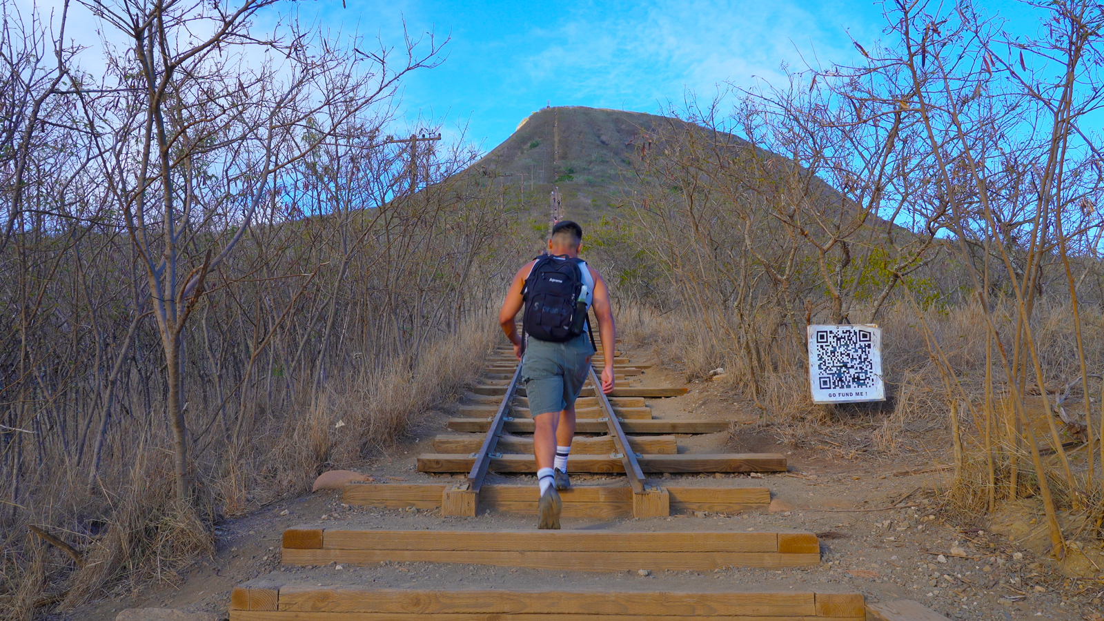
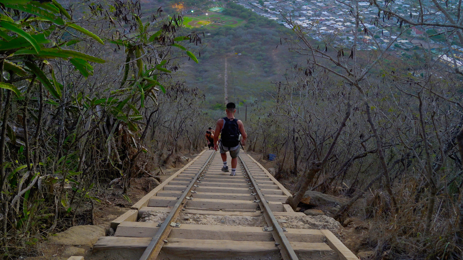
The trail consists of over 1,000 steps made from abandoned railroad ties, which were previously used by the military during World War 2 for transporting supplies to a lookout post at the summit via an incline tram. The moderate to hard challenge of this 1.6-mile out & back trail will leave you with a sense of accomplishment. Don’t miss out on an exhilarating experience near Honolulu, Hawaii and create unforgettable memories that will endure a lifetime.

Trail Overview
What is the length of the trail and how long does it take to complete?
The out & back trail spans approximately 1.6 miles and on average, it takes about 1.5 hours to complete.
What is the difficulty level?
The hike is rated as hard by AllTrails, although some consider it to be between moderate and hard.
What is the total elevation gain and elevation at the trailhead and summit?
The trail has a total elevation gain of around 885 ft. The trailhead sits at an elevation of approximately 141 feet, while the summit reaches around 1,035 feet.
Where can I get a map of the trail?
To prepare and navigate during the hike, you can utilize trail maps on AllTrails. Click here for a free 7 day trial!
What is the “bridge” portion and how can I avoid it?
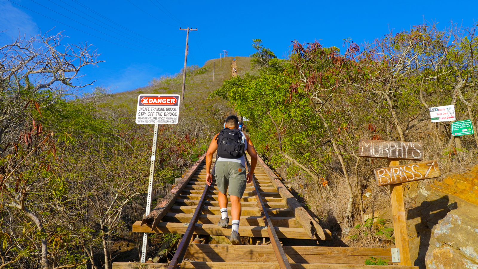
A little more than halfway up, there is a “bridge” portion consisting of approximately 50 rail steps without ground coverage. For a safer alternative, there is a clearly marked bypass trail available.
What are the main obstacles on the trail?
The primary challenge of hiking Koko Head Crater is the strenuous ascent without shade. The hike can become even more demanding on hot and humid days. The most challenging section is the “bridge” portion, which lacks ground coverage. However, this technical part can be bypassed for those seeking an alternative route. Other obstacles can be avoided by starting early or later in the day and by maintaining a slow pace.
Can this trail be hiked year-round?
The trail is accessible throughout the year for hiking. However, it is advisable to utilize the bypass option during or after rainfall to avoid the potentially slippery conditions on the “bridge” portion.
Should kids hike the trail?
This hike is suitable for fit and experienced kids. You can find reviews on AllTrails from parents who have shared their children’s accomplishments on this hike.
Are pets, bicycles, and strollers allowed on the trail?
Pets, bicycles, and strollers are prohibited on the trail.

Trip Planning
When is the best time to hike this trail to avoid heavy traffic and large crowds?
For a more enjoyable experience, consider visiting during mid-April to early June when temperatures are milder, or from September to mid-December when the weather begins to cool down. By choosing these optimal times, you can hike with fewer individuals, experience milder temperatures, and reduce the likelihood of encountering rain.
Is there an entrance fee and are reservations required?
There is no entrance or parking fees required.
Where do I park?
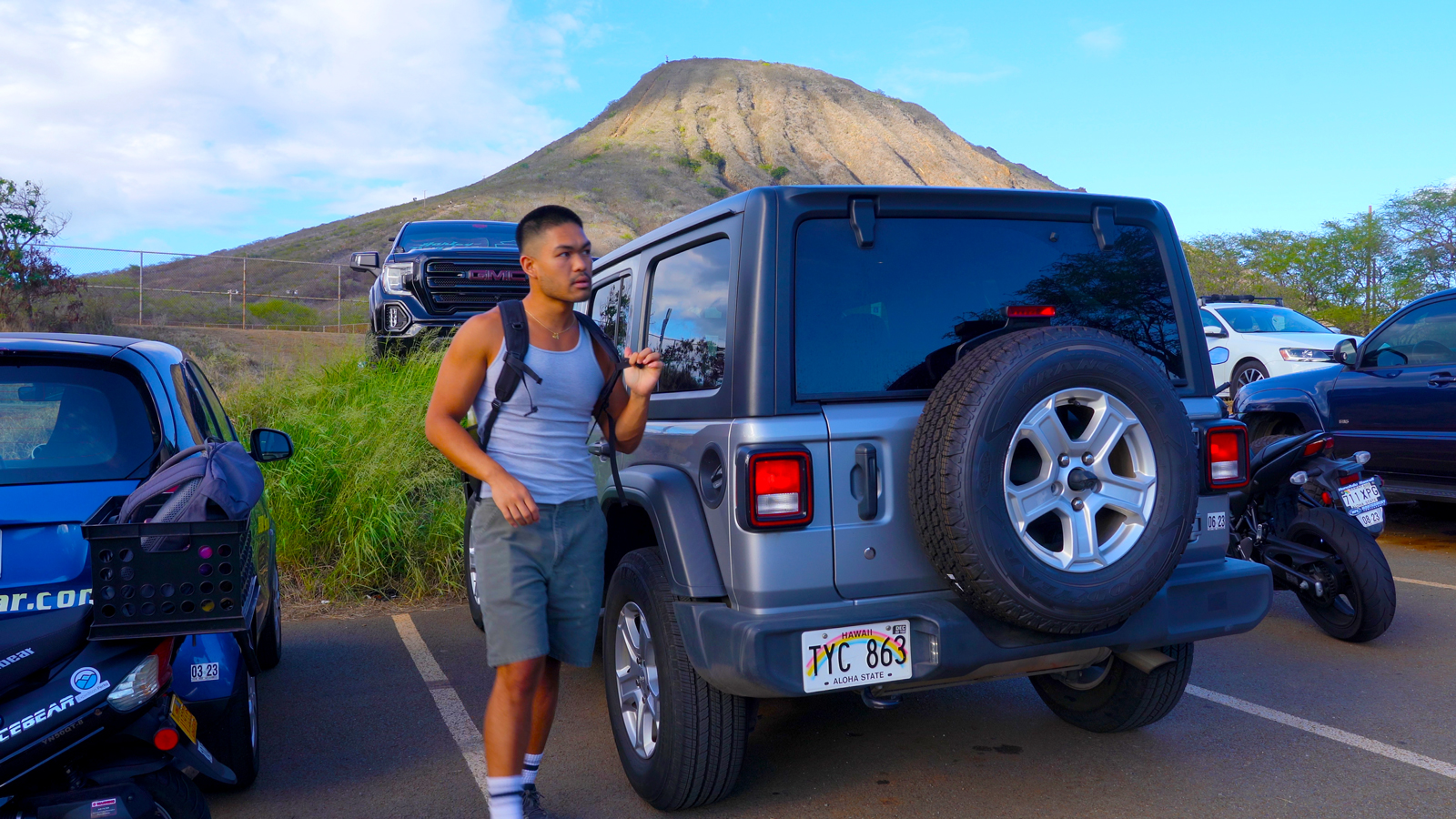
Free parking is available at the Koko Head Trailhead Parking Lot, located near the Goeas Baseball field. From there, it is a short walk along the Koko Head Park Road to reach the trailhead. If the parking lot is full, alternative free parking options are available within the Koko Head District Park.
Are there water sources available?
There is a water fountain located behind the homebase of the baseball field near the trailhead. While its functionality may vary, it can provide a potential water source.
Additionally, another water fountain can be found near the smaller parking lot down the road from the Koko Head Trailhead Parking Lot, where the restrooms are located.
How much water should I bring?
It is generally recommended to consume approximately half a liter of water per hour during moderate activity in moderate temperatures. You should aim to drink at least 1.5 liters of water.
Adding electrolytes and creatine to your water can enhance hydration and prevent muscle cramps. Check out the zero sugar hydration travel packets that I use! I mix them up in these 1 liter flexible and collapsible bottles!
What gear should I use?
Any shoe will work, but if you plan to go through the “bridge” section, it is advised to wear hiking shoes or boots with good traction.
Trekking poles or a walking stick can also come in handy to distribute weight and relieve pressure on your legs. As always, pack a headlamp for emergencies.
Are there restrooms?
Restrooms and water fountains are located next to the smaller parking lot down the road from the Koko Head Trailhead Parking Lot, on the same side.
Are there any trail closures?
Check recent AllTrails reviews for any trail updates.
Are there any road closures?
For current road conditions, click here. The right turning lane coming from HWY 72 has been known to be closed, so you will have to access the park via Anapalau St. and continue onto Koko Head State Park Rd.
What is the weather forecast for the trail?
Click here for current weather conditions from the NOAA.



Practice trail etiquette.
Hikers that are going toward the summit or ascending the trail have the right of way. So hikers that are descending or returning from their hike should yield to hikers ascending. Make sure to leave no trace and whatever you pack in, pack out. Lastly, always pay attention to the signs posted and to stay on trail to avoid disturbing wildlife and causing erosion.
