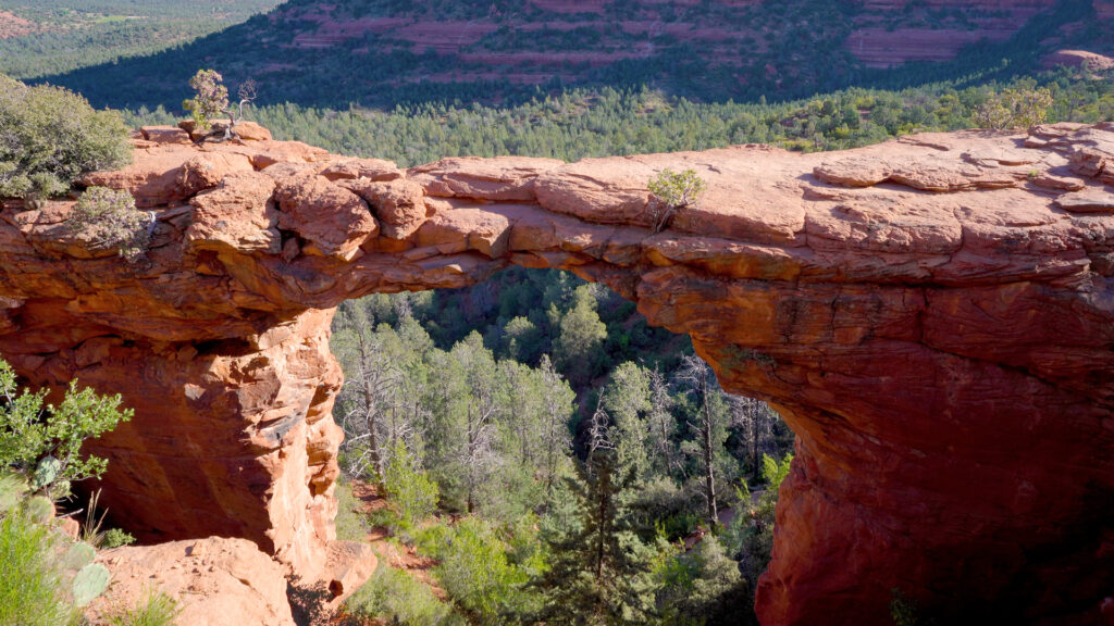
Unveiling the Natural Beauty of Devil’s Bridge: A Must-Hike Trail in Sedona, Arizona
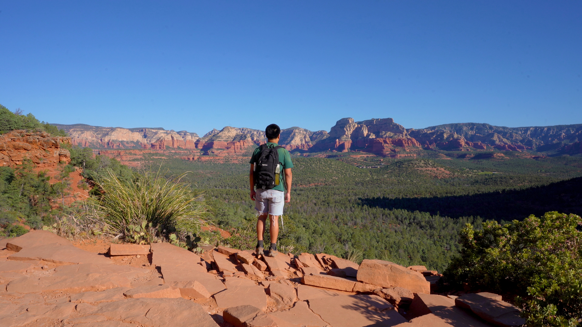
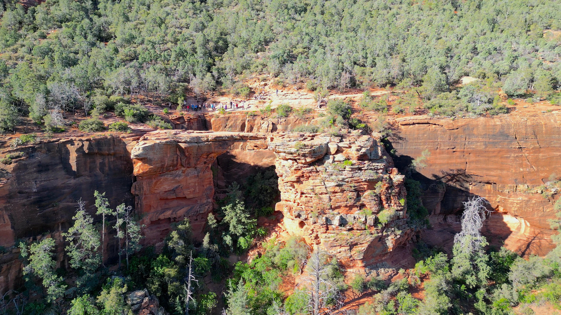
Discover the allure of the Devil’s Bridge, Sedona’s crowning natural sandstone arch and Arizona’s most popular hike. Don’t be misled by the name; this natural wonder is a heavenly masterpiece amidst a region renowned for its ethereal beauty. Use this trail guide to plan your adventure now and create memories that will last a lifetime.
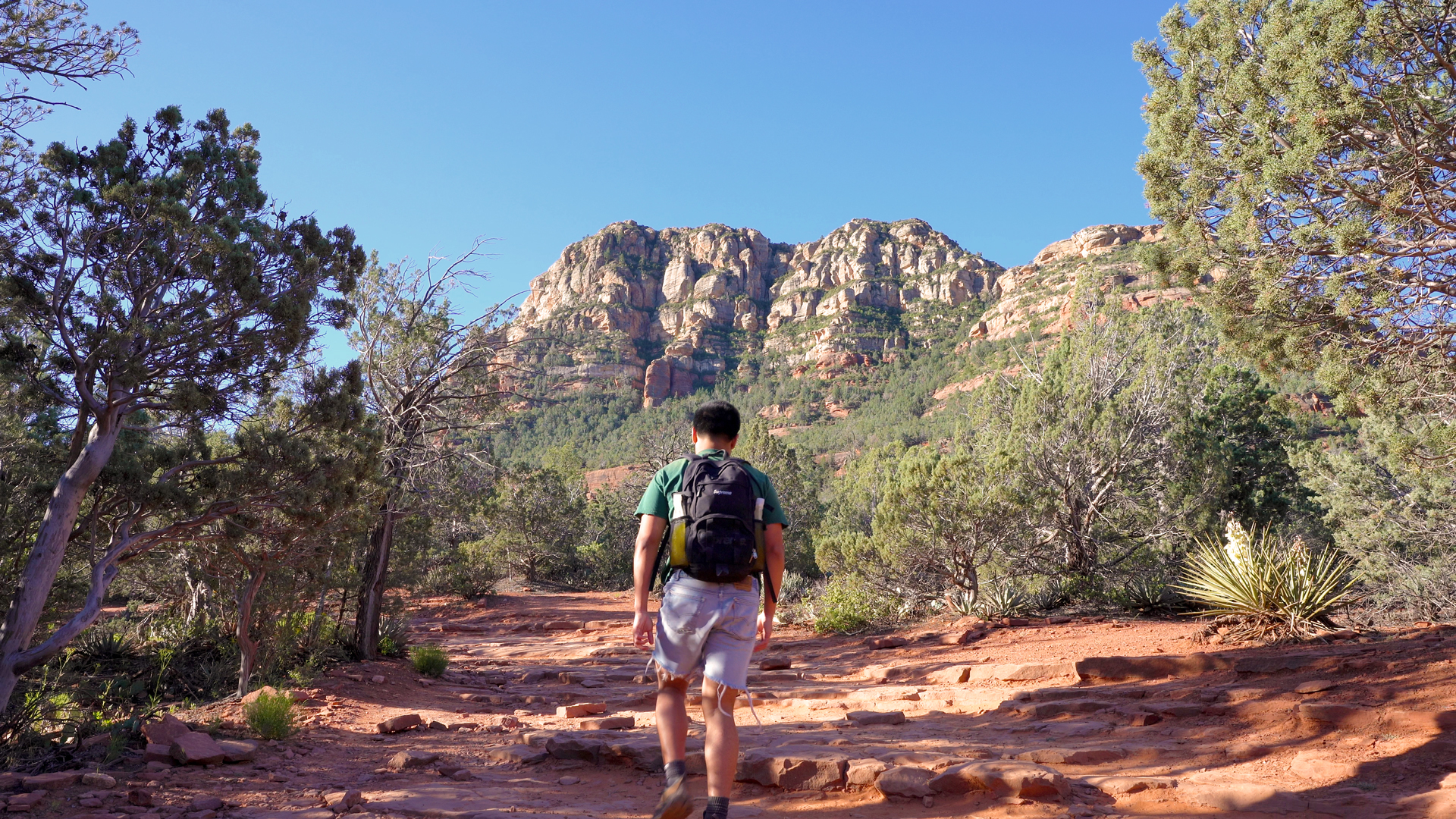
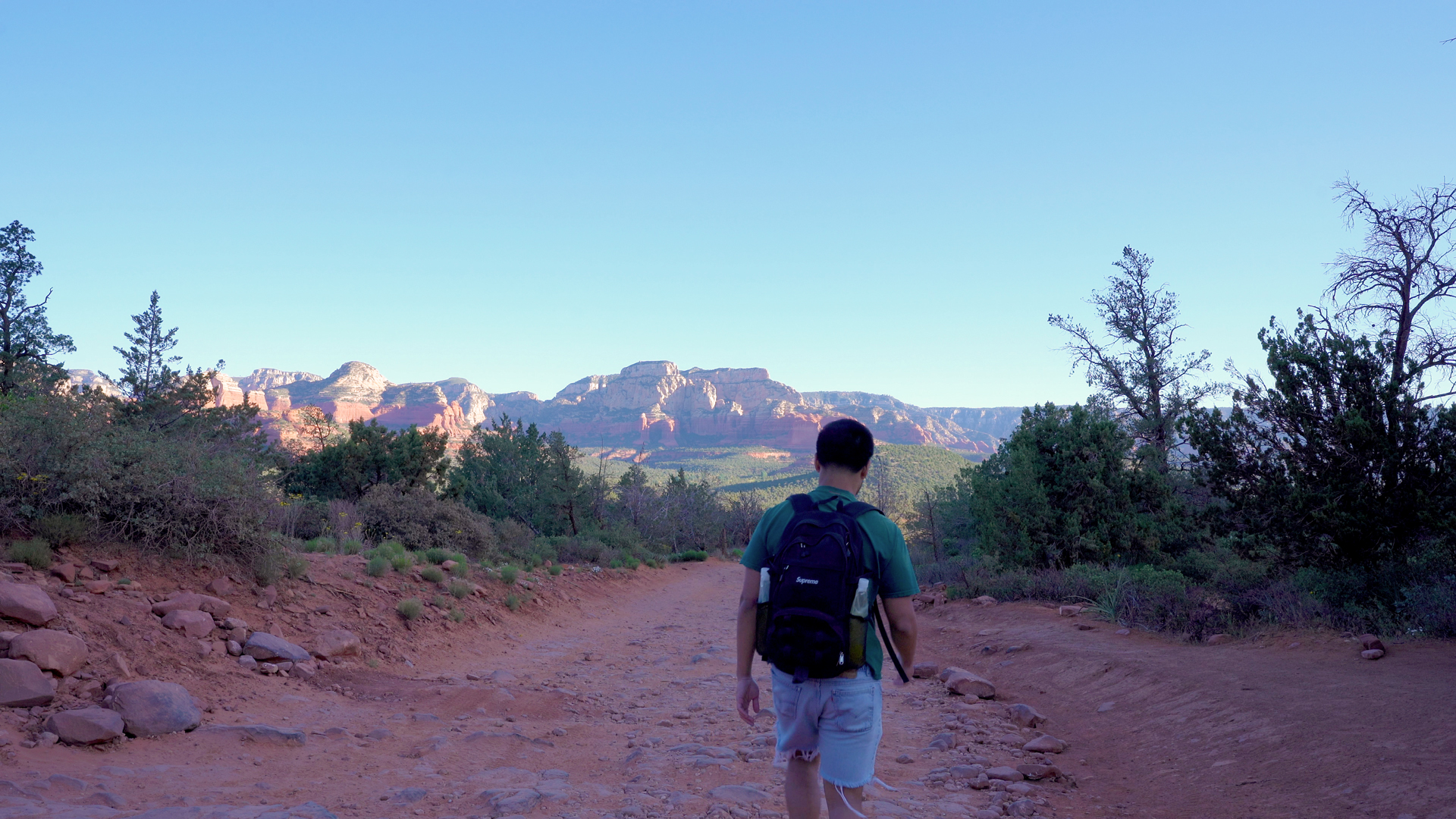
As you ascend, you’ll find the path an easy companion, leading you through juniper-lined washes and prickly pear cacti. The trail gradually climbs, teasing you with glimpses of the sublime surroundings. The real magic awaits after you pass the steep ascent before the pinnacle. Embark on an unforgettable adventure at the Devil’s Bridge, where the journey is as enchanting as the destination.
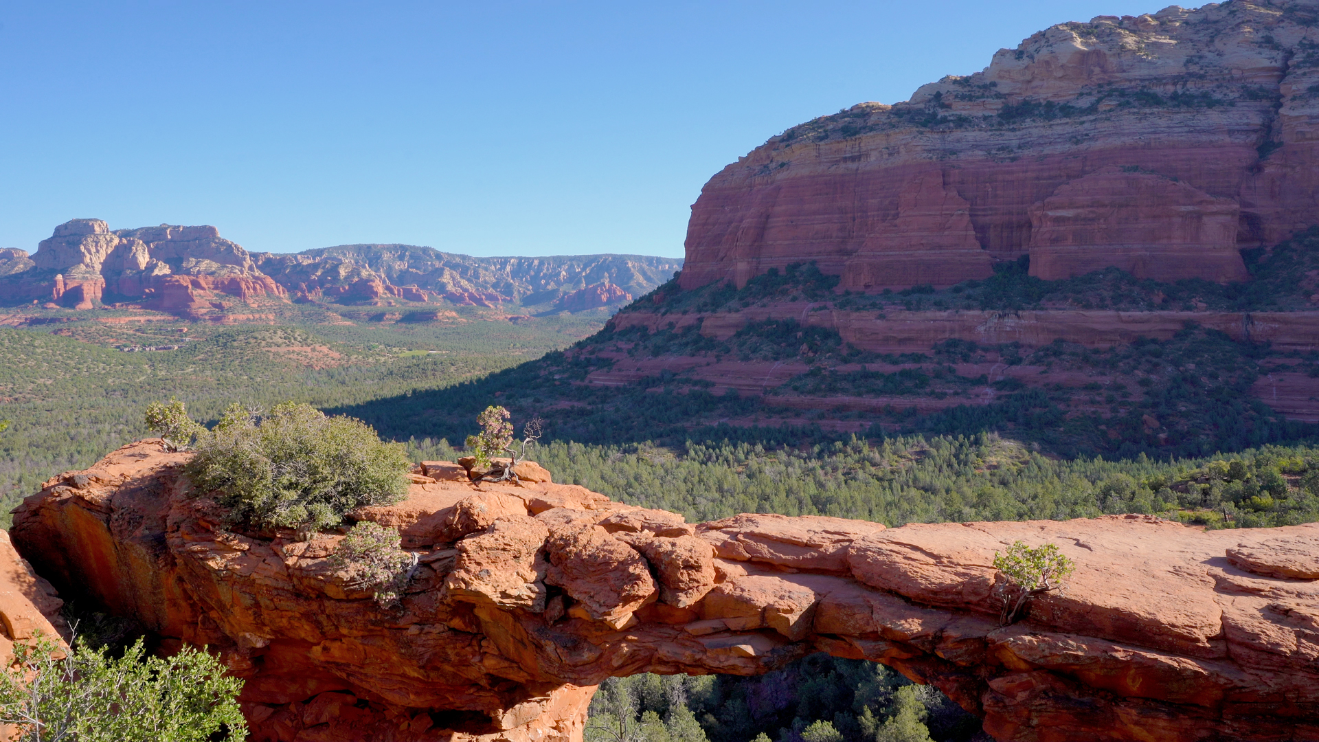
Trail Overview
What is the length of the trail and how long does it take to complete?
The out & back trail is just under 4 miles long and on average, it takes about 1.5 hours to complete.
What is the difficulty level?
The hike is rated as moderate by AllTrails and I agree.
What is the total elevation gain and elevation at the trailhead and summit?
The trail has a total elevation gain of around 500 feet. The trailhead sits at an elevation of approximately 4,600 feet, while the summit reaches around 5,000 feet.
Where can I get a map of the trail?
To prepare and navigate during the hike, you can utilize trail maps on AllTrails. Click here for a free 7 day trial!
What are the main obstacles on the trail?
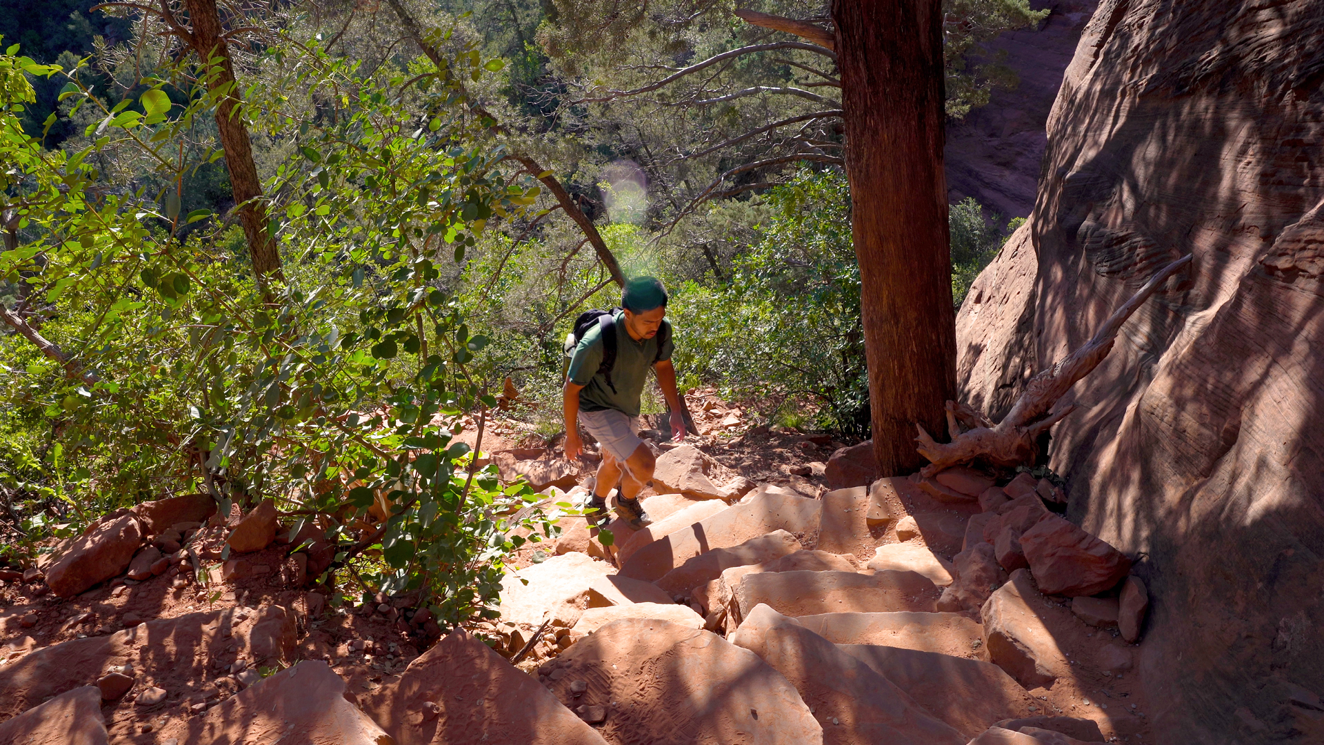
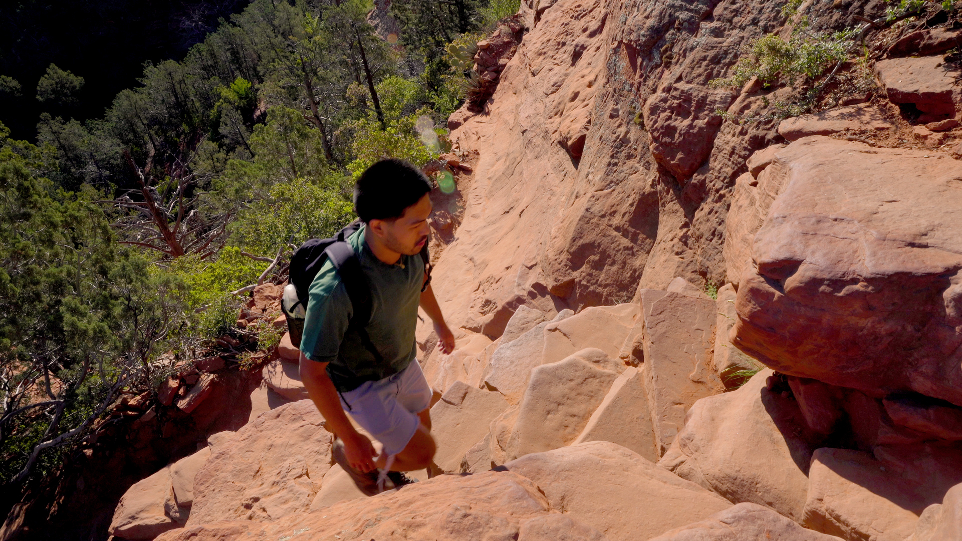
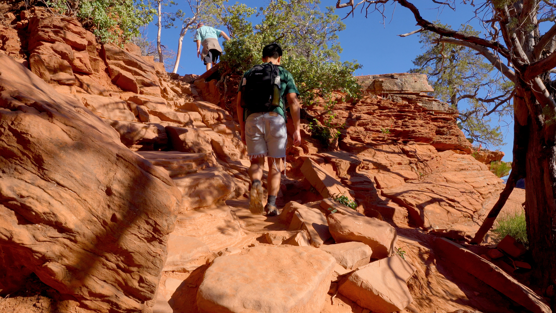
The main obstacle is the last half mile leading up to the bridge due to the steep ascent and technical scrambles.
Can this trail be hiked year-round?
The trail is accessible daily and throughout the year.
Should kids hike the trail?
This hike is suitable for fit and experienced kids.
Are pets allowed on the trail?
Leashed dogs are allowed but may not be able to pass the technical scrambles.
Trip Planning
When is the best time to hike this trail to avoid heavy traffic and large crowds?
Consider visiting towards the off-season from the end of May to early September to enjoy a less crowded hike. Be sure to hike early or late to avoid the hottest times of the day and for less foot traffic as well.
Is there an entrance fee?
Daily or weekly passes can be purchased at the machines in the Dry Creek Vista Trailhead parking lot. However, if you’re in a high-clearance vehicle, you can drive on the unpaved road and park at the trailhead, which will cut about 2 miles off your trip.
Are there water sources and restrooms available?
There are no water sources available. Pit toilets are available in the parking lot.
How much water should I bring?
It is generally recommended to consume approximately half a liter of water per hour during moderate activity in moderate temperatures. You should aim to drink at least 1 liters of water.
Adding electrolytes and creatine to your water can enhance hydration and prevent muscle cramps. Check out the zero sugar hydration travel packets that I use! I mix them up in these 1 liter flexible and collapsible bottles!
What gear should I use?
Trekking poles or a walking stick can come in handy to distribute weight and relieve pressure on your legs as you hike. As always, pack a headlamp for emergencies.
Are there any trail closures?
Check recent AllTrails reviews and the official trail site for any trail updates.
What is the weather forecast for the trail?
Click here for current weather conditions from the NOAA.
Practice trail etiquette.
Hikers that are going toward the summit or ascending the trail have the right of way. So hikers that are descending or returning from their hike should yield to hikers ascending. Make sure to leave no trace and whatever you pack in, pack out. Lastly, always pay attention to the signs posted and to stay on trail to avoid disturbing wildlife and causing erosion.
