Explore the Beauty of Phoenix on Camelback Mountain Hike
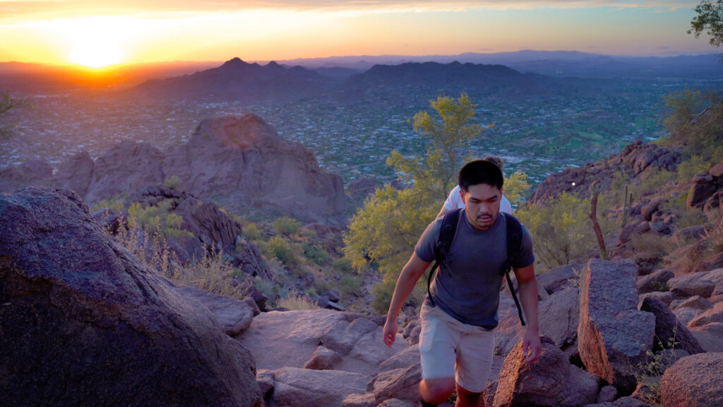
Camelback Mountain, a true gem situated a mere 20-minute drive from downtown Phoenix, emerges as one of the city’s premier hiking destinations, drawing in thousands of eager hikers annually. With an impressive elevation exceeding 2,600 feet, this natural wonder provides awe-inspiring views of both Phoenix and Scottsdale. This comprehensive trail guide delves into Camelback Mountain’s distinctive features, the challenging trail, crucial safety tips, and outlines what you can anticipate during your hike. Continue reading to actively plan your adventure and forge memories that will endure a lifetime.
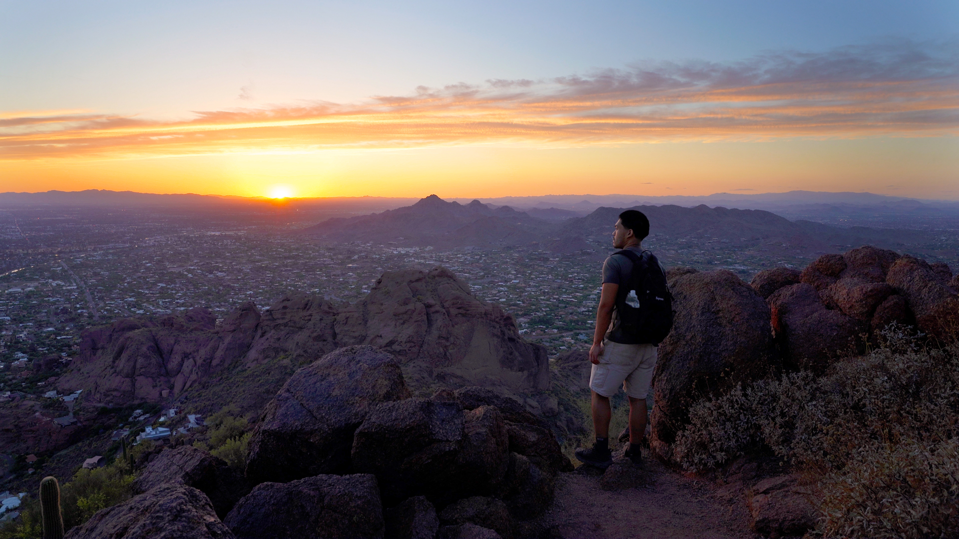
Trail Overview
What is the length of the trail and how long does it take to complete?
The out & back trail is 2.6 miles long and on average, it takes about 2.5 hours to complete.
What is the difficulty level?
AllTrails rates this trail as hard and I agree.
What is the total elevation gain and elevation at the trailhead and summit?
The trail has a total elevation gain is 1,522 feet. The trailhead sits around 1,362 feet, while the summit reaches around 2,680 feet.
Where can I get a map of the trail?
To prepare and navigate during the hike, you can utilize trail maps on AllTrails. Click here for a free 7 day trial!
What are the main obstacles on the trail?
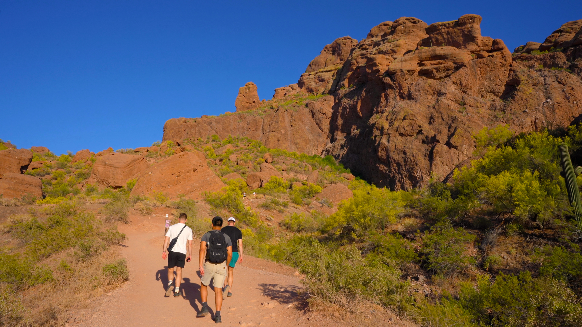
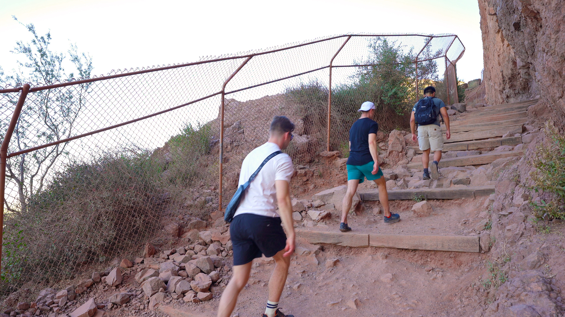
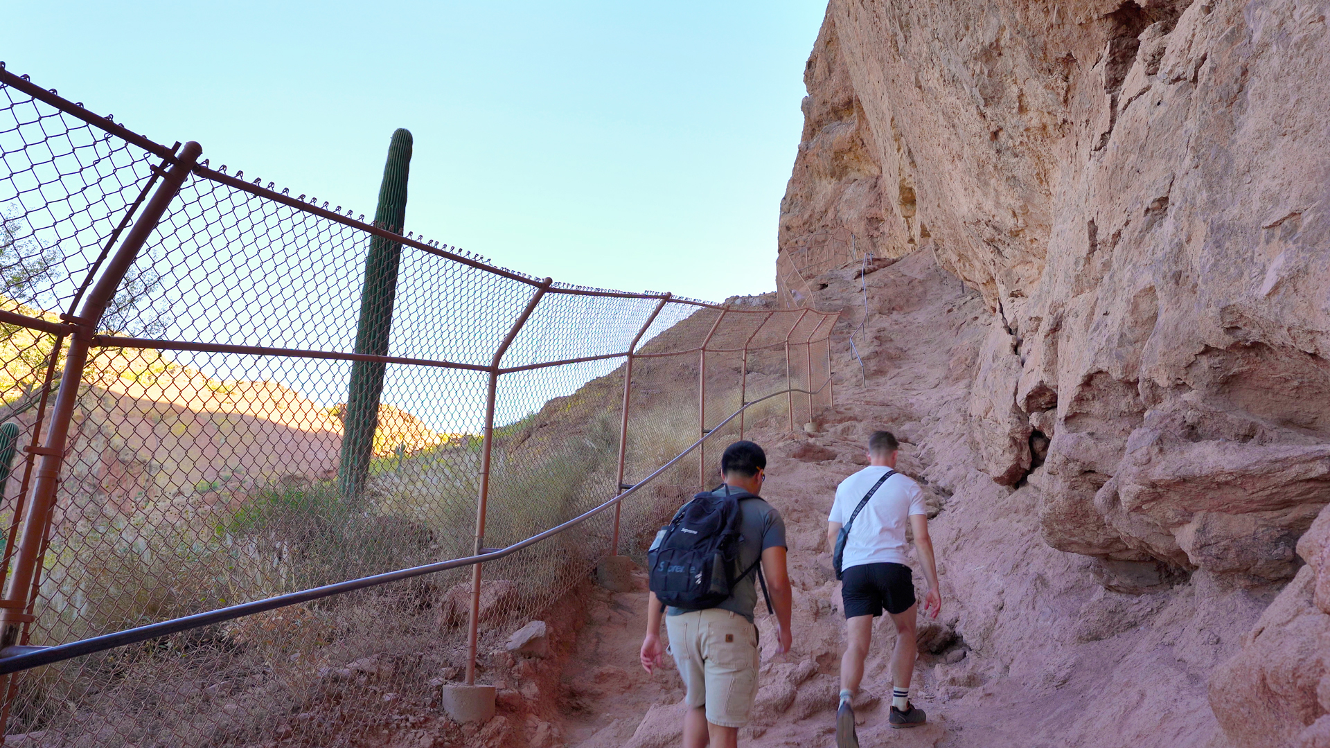
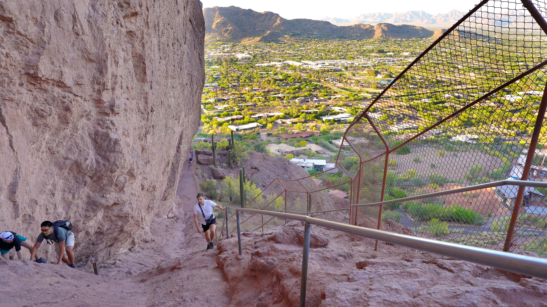
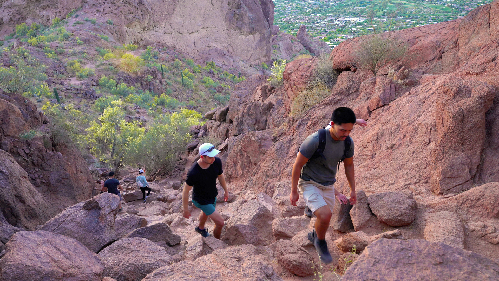
The main obstacles are midway for about a tenth of a mile and during the last quarter mile leading up to the summit due to the steep ascent and technical rock scrambles.
Can this trail be hiked year-round?
The trail is accessible daily and throughout the year. Camelback Mountain may be closed from 11AM to 5PM on days with excessive heat warnings.
Should kids hike the trail?
This hike is suitable for fit and experienced kids.
Are pets allowed on the trail?
Dogs are prohibited on this trail.
Trip Planning
When is the best time to hike this trail to avoid heavy traffic and large crowds?
Consider visiting towards the end of May to early September to enjoy a less crowded hike and be sure to hike early or late to avoid the hottest times of the day.
Is there an entrance fee?
Entry is free.
Where do I park?
Limited parking is available at the Echo Canyon trailhead.
Are there water sources and restrooms available?
The available facilities at the Echo Canyon Trailhead, include restrooms, water fountains, benches, and a shade canopy.
How much water should I bring?
It is generally recommended to consume approximately half a liter of water per hour during moderate activity in moderate temperatures. You should aim to drink at least 1.5 liters of water.
Adding electrolytes and creatine to your water can enhance hydration and prevent muscle cramps. Check out the zero sugar hydration travel packets that I use! I mix them up in these 1 liter flexible and collapsible bottles!
What gear should I use?
Trekking poles or a walking stick can come in handy to distribute weight and relieve pressure on your legs as you hike. As always, pack a headlamp for emergencies.
Are there any trail closures?
Check recent AllTrails reviews and the official trail site for any trail updates.
What is the weather forecast for the trail?
Click here for current weather conditions from the NOAA.
Practice trail etiquette.
Hikers that are going toward the summit or ascending the trail have the right of way. So hikers that are descending or returning from their hike should yield to hikers ascending. Make sure to leave no trace and whatever you pack in, pack out. Lastly, always pay attention to the signs posted and to stay on trail to avoid disturbing wildlife and causing erosion.
Hey people!!!!!
Good mood and good luck to everyone!!!!!